
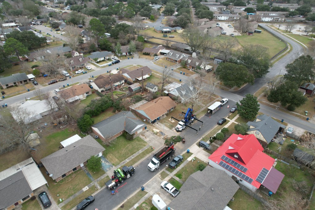
Construction Progress Monitoring
We provide regular drone flights to document construction progress, produce clear visual reports, and help all stakeholders track timelines, milestones, and quality throughout the build, weekly, or monthly site flyovers.
Orthomosaics
Orthomosaics provide one high-resolution image of a large site. The result is a seamless, high-resolution representation of a specific area. Orthophotos are a combination of a vertical aerial photograph and a topographical map with high level of precision for survey.
3D Models
3D Models products include Point Clouds, 3D Mesh Models, and more. Point cloud data can be extracted for creating a topographic maps of elevation models for undeveloped land.
Aerial Photography
Clean high quality video or still images from the air at any angle in order to capture your subjects with cinema like quality.
Drone Inspections
Cell tower, and roof top inspections can be achieved safely while using a 56 Max Hybrid Zoom camera capable of capturing 4k video and 20MP Aerial photos.
Real Estate
Capture your property from a unique vantage point, using aerial photos to capture highly detailed footage to showcase the whole property from any angles inside and outside.

